
Interstate 95 in Rhode Island
(I-95-RI)
- - States/Provinces
- - Overview Information
- - Map of Road
- / - Road Conditions
- EB..SB - Directional Listings
From Wikipedia, the free encyclopedia
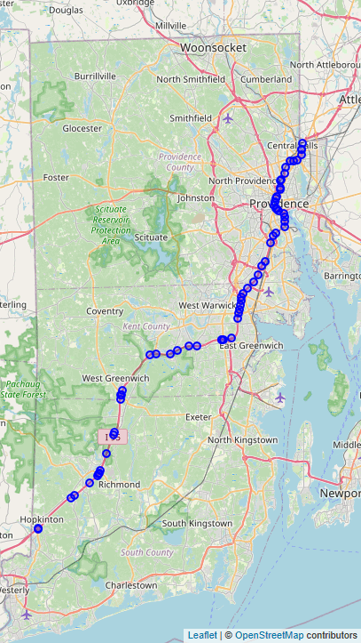
Interstate 95 (I-95) is the main north–south Interstate Highway on the east coast of the United States, running generally southwest-northeast through the U.S. state of Rhode Island. It runs from the border with Connecticut near Westerly, through Warwick and Providence, and to the Massachusetts state line in Pawtucket. It has two auxiliary routes, both of which enter Massachusetts—I-195: a spur from Providence east to Cape Cod, and I-295, a western bypass of the Providence-Pawtucket area.
South of Warwick, I-95 does not follow U.S. Route 1 (US 1), which it generally replaced in New England. It instead takes a shorter inland route, parallel to Route 3. Route 3 was designated Route 1A in 1922, a New England Interstate Route, but it has never been a U.S. Route.
Full Wikipedia Topic
| Route information | |
|---|---|
| Maintained by RIDOT | |
| Length | 43.3 mi (69.7 km) |
| Existed | 1957–present |
| Major junctions | |
|---|---|
| South end |
|
|
|
|
| North end |
|
| Locations | |
|---|---|
| Counties | Washington, Kent, Providence |
Alpha Release News: see notes.