
Interstate 95 in New Hampshire
(I-95-NH)
- - States/Provinces
- - Overview Information
- - Map of Road
- / - Road Conditions
- EB..SB - Directional Listings
From Wikipedia, the free encyclopedia
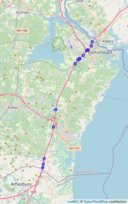
Interstate 95 (I-95), the main Interstate Highway on the east coast of the United States, passes through the Seacoast Region of New Hampshire. The highway is also known as the Blue Star Turnpike or New Hampshire Turnpike, a toll road maintained by the New Hampshire Department of Transportation (NHDOT) Bureau of Turnpikes. Running 16.31 miles (26.25 km) from the Massachusetts border to the Piscataqua River Bridge at the Maine state line, New Hampshire's portion of I-95 is the shortest of any state that the interstate passes through. Interstate 95 traverses six municipalities in New Hampshire: Seabrook, Hampton Falls, Hampton, North Hampton, Greenland, and Portsmouth. The highway is the main thoroughfare between urban areas in Massachusetts and points in Maine.
Full Wikipedia Topic
| Route information | |
|---|---|
| Maintained by NHDOT | |
| Length | 16.131 mi (25.960 km) |
| Existed | 1957–present |
| Major junctions | |
|---|---|
| South end |
|
|
|
|
| North end |
|
| Locations | |
|---|---|
| Counties | Rockingham |
Alpha Release News: see notes.