
Interstate 95 in Maine
(I-95-ME)
- - States/Provinces
- - Overview Information
- - Map of Road
- / - Road Conditions
- EB..SB - Directional Listings
From Wikipedia, the free encyclopedia
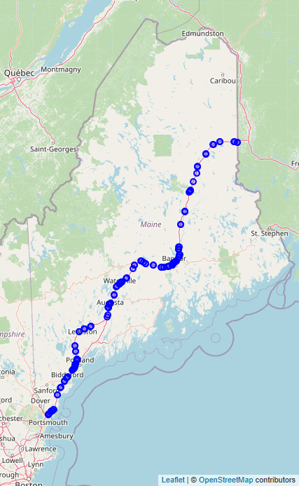
Interstate 95 (I-95) in the US state of Maine is a 303-mile-long (488 km) highway running from the New Hampshire state line in Kittery, to the Canadian border in Houlton. It is the only two-digit Interstate Highway in Maine. In 2004, the highway's route between Portland and Gardiner was changed so that it encompasses the entire Maine Turnpike (including the former I-495 between Falmouth and Gardiner), a toll road running from Kittery to Augusta.
Full Wikipedia Topic
| Route information | |
|---|---|
| Maintained by MaineDOT and Maine Turnpike Authority | |
| Length | 303.2 mi (488.0 km) |
| Existed | 1956–present |
| Major junctions | |
|---|---|
| South end |
|
|
|
|
| North end |
|
| Locations | |
|---|---|
| Counties | York, Cumberland, Androscoggin, Kennebec, Somerset, Waldo, Penobscot, Aroostook |
Alpha Release News: see notes.