
Interstate 95 Florida
(I-95-FL)
- - States/Provinces
- - Overview Information
- - Map of Road
- / - Road Conditions
- EB..SB - Directional Listings
From Wikipedia, the free encyclopedia
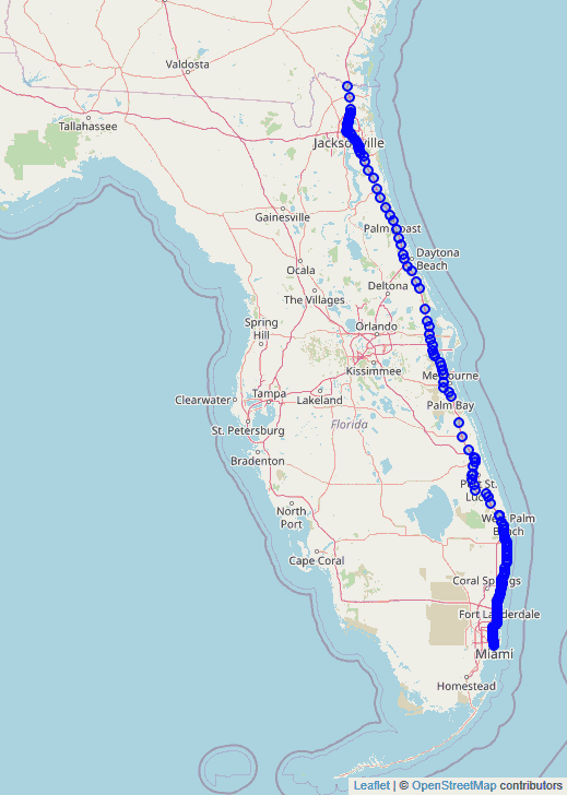
Interstate 95 (I-95) is the main Interstate Highway of Florida's Atlantic Coast. It begins at a partial interchange with U.S. Highway 1 (US 1) just south of downtown Miami, and heads north past Daytona Beach, through Jacksonville, and to the Georgia state line at the St. Marys River near Becker. The route also passes through the cities of Fort Lauderdale, West Palm Beach, and Titusville.
Interstate 95 runs for 382 miles (615 km), making Florida's portion the longest of any state the interstate passes through. The southernmost 87 miles (140 km), from Exit 1 to Exit 87B, is known as the Miami Memorial Metropolitan (MMM) Expressway. The other 12.848 miles (20.677 km) of which are unsigned as State Road 9A, and the remainder being the unsigned portion of State Road 9.
Full Wikipedia Topic| Route information | |
|---|---|
| Maintained by FDOT | |
| Existed | 1957–present |
| Length | 382.009 mi (614.784 km) |
| History | Completed in December 19, 1987 |
| Major junctions | |
|---|---|
| South end |
|
| East end | |
| Locations | |
|---|---|
| Counties | Miami-Dade, Broward, Palm Beach, Martin, St. Lucie, Indian River, Brevard, Volusia, Flagler, St. Johns, Duval, Nassau |
Alpha Release News: see notes.