
From Wikipedia, the free encyclopedia
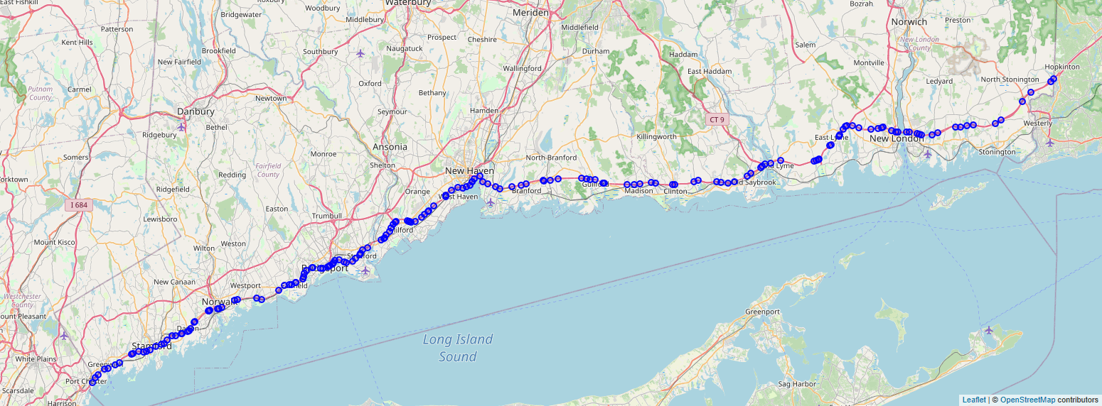
Interstate 95 (I-95) is the main north–south Interstate Highway on the East Coast of the United States, running in a general east–west compass direction for 111.57 miles (179.55 km) in Connecticut, from the New York state line to the Rhode Island state line. I-95 from Greenwich to East Lyme is part of the Connecticut Turnpike, during which it passes through the major cities of Stamford, Bridgeport, and New Haven. After leaving the turnpike in East Lyme, I-95 is known as the Jewish War Veterans Memorial Highway and passes through New London, Groton, and Mystic, before exiting the state through North Stonington at the Rhode Island border.
Full Wikipedia Topic
| Route information | |
|---|---|
| Maintained by CTDOT | |
| Length | 111.57 mi (179.55 km) |
| Existed | 1959–present |
| Major junctions | |
|---|---|
| South end |
|
|
| North end |
|
| Locations | |
|---|---|
| Counties | Fairfield, New Haven, Middlesex, New London |
Alpha Release News: see notes.